
3D map of Partizánske
Partizánske – town, Trenčín Region, Slovakia.
Create a free preview
from 3 490 Kč
- Population
- 20,096 (2025)
- Elevation
- 190 m a.s.l.
- Region
- Trenčín Region
- Country
- Slovakia
- Coordinates
- 48.6333° N, 18.3667° E

A 3D model of Partizánske for your wall
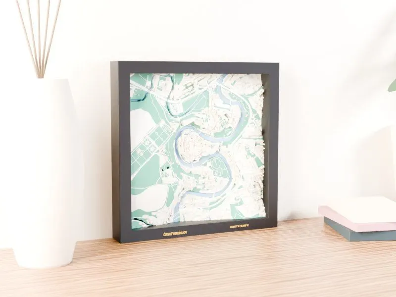
On a 3D map of Partizánske you will find your street, the house you grew up in or the place where you met – at about 1 : 6,500, with every building in its real shape and height. Move the frame on the map, choose colours and the text on the frame and see a photorealistic preview right away.
More 3D maps: Trenčín Region
Towns nearby
Facts: Wikidata. Map data © OpenStreetMap contributors, elevation: Terrain Tiles (AWS Open Data).